The Assault of the Winter Cold at the Beginning of Spring
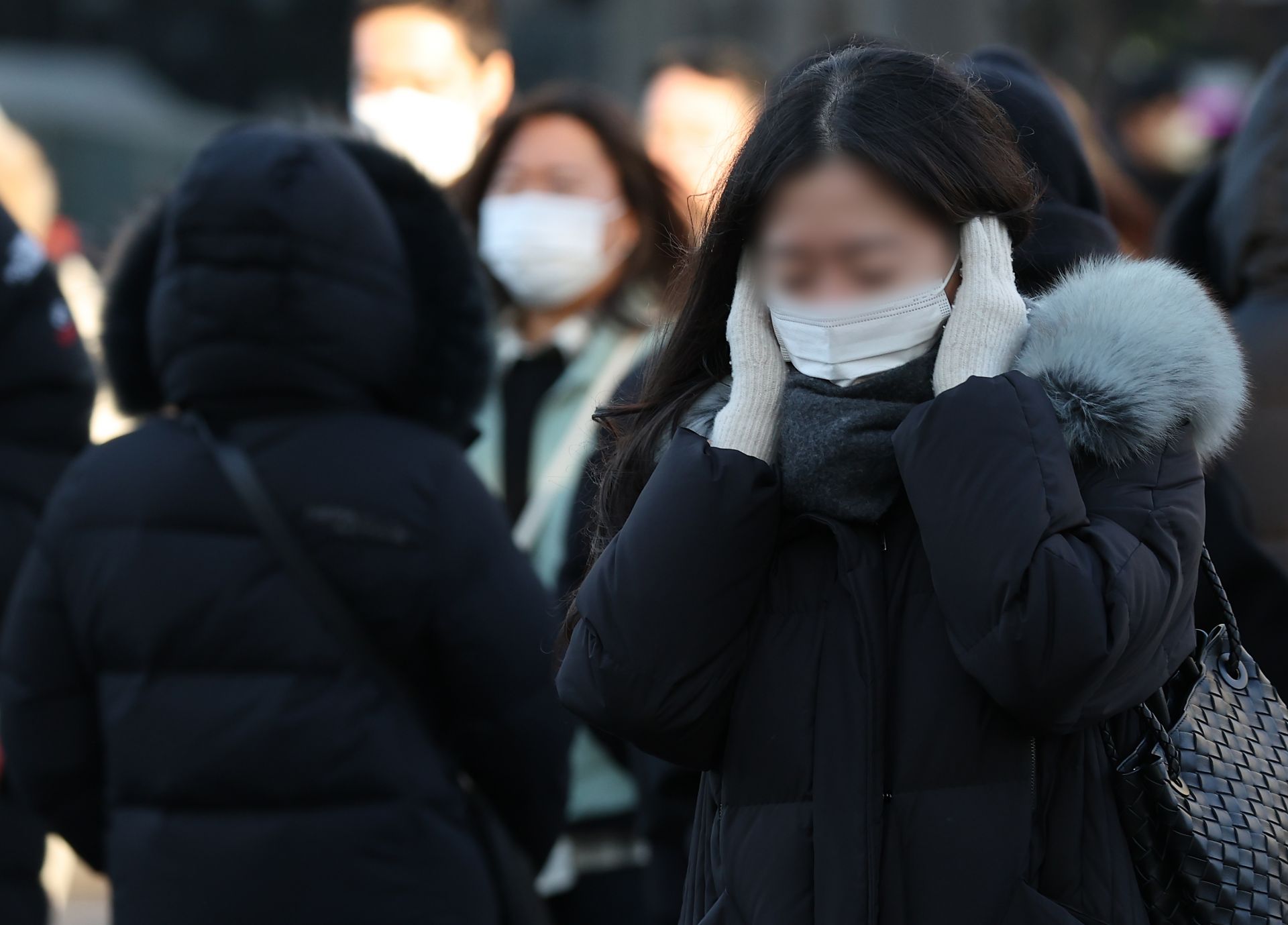
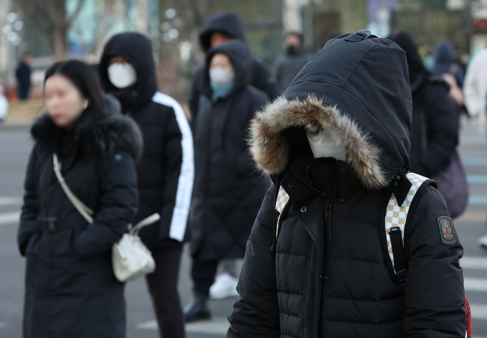
Heavily armed on the way to work. Photo by Yonhap News
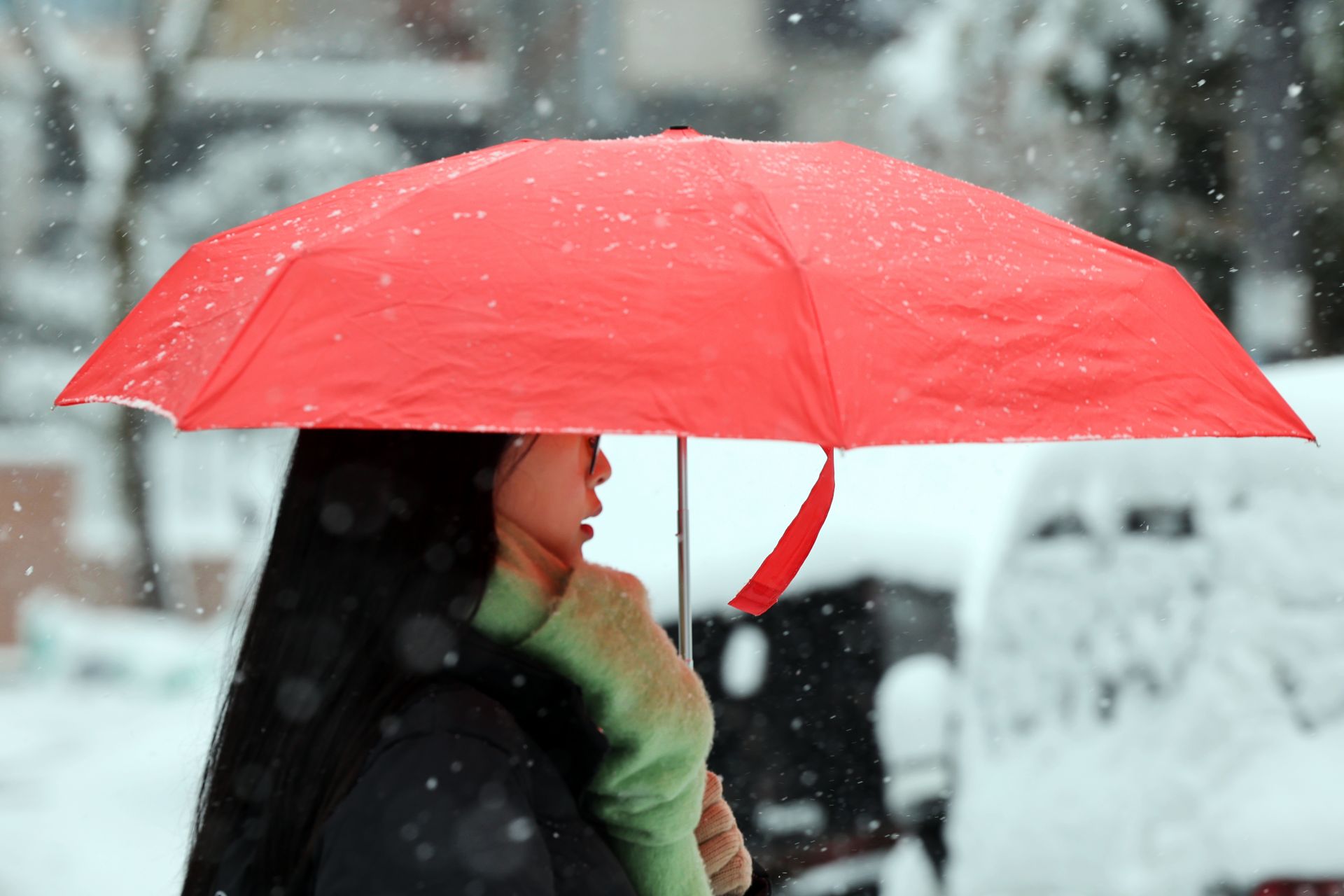
Holding a red umbrella, moving forward. Photo by Yonhap News
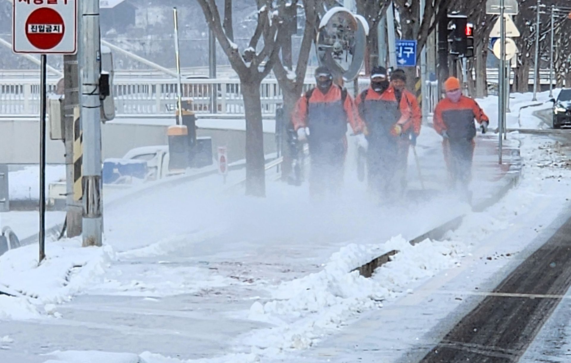
Making his way through the snowy path. Photo by Yonhap News
On Tuesday the 4th, a severe cold wave is expected to continue across the country, especially in the Gangwon region, with snow forecast in several areas.
According to the Korea Meteorological Administration, morning lows on the 4th will range from -18 to -4 degrees Celsius, and daytime highs from -7 to 2 degrees Celsius. This is a drop of about 5 to 10 degrees compared to the morning of the 3rd. Morning temperatures in Cheorwon and Hwacheon will fall to -18 and -17 degrees, respectively. In Seoul, the minimum temperature is forecast to be -12 degrees, with a maximum of only -6 degrees.
Snow is expected in the western coast of Chungnam, the Jeolla region, and Jeju Island. Light snow of less than 0.1 cm may also fall from early morning to afternoon in the southwestern part of Gyeonggi and the western inland areas of Gyeongsang.
By the 5th, expected snowfall amounts are 5 to 10 cm in the western coast of Chungnam, 3 to 8 cm in Daejeon, Sejong, and inland Chungnam, 1 to 5 cm in central and southern Chungbuk, 5 to 20 cm in the western coast and southern inland of Jeonbuk and the northwestern part of Jeonnam, 5 to 15 cm in Gwangju and the southwestern part of Jeonnam, and 3 to 10 cm in the northern inland of Jeonbuk and eastern Jeonnam. Ulleungdo and Dokdo are expected to receive 10 to 50 cm of snow.
Fine dust concentrations are expected to remain at a 'good' level nationwide.
Wave heights in the sea will range from 1.0 to 3.5 meters in the East and West Sea coastal areas, and from 0.5 to 2.5 meters in the South Sea coastal areas. In the offshore areas (about 200 km from the coastline), wave heights are forecast to be 2.0 to 5.0 meters in the East Sea and 1.5 to 4.0 meters in the West and South Seas.
-

Reporter Kim Jinyeong camp@asiae.co.kr
-
Edit Lee Kijae happylee17@asiae.co.kr
© The Asia Business Daily(www.asiae.co.kr). All rights reserved.